Hydroinformatics Assignment 10: Build a Web Application and Register it in HydroShare
Kaleb Markert, BYU CE 534 HydroInformatics
This map viewer page is displaying a Leaflet map using Open Street Map tiles as a basemap. It also is able to load a WMS layer from a HydroShare Geoserver WMS service if the paramters "resourceid" and "layername" are specified from a valid HydroShare resource.
To test this page, include the following paramters in the URL query string in your browser and set a value for each one: 'user', 'resoruceid', and 'layername'
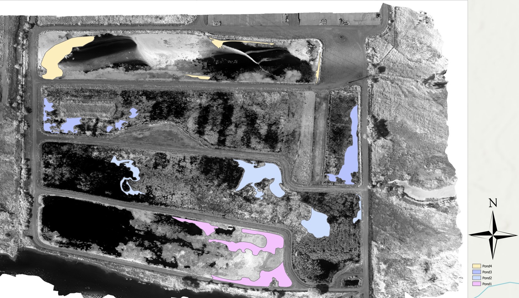
The data displayed in here is from a project with the goal of identifying aquatic vegetation based on their multispectral signatures. The layers display shapes where the the points were extracted from for the training process. A basemap is provided for the overall reference.